Freezing weather returns to Calgary
Posted Feb 3, 2018 2:12 pm.
Last Updated Feb 5, 2018 7:49 am.
This article is more than 5 years old.
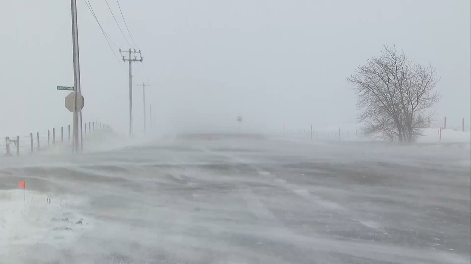
Calgarians just need to get through one more day of frigid temperatures, but it will still be about a week until the weather bounces back with normal average temperatures.
Environment Canada meteorologist Dave Carlsen said Saturday, a cold air mass is sitting over a lot of North America. He said it’s going to take a pretty strong westerly flow to push it out, which likely won’t happen until late next week.
“February in Alberta, so we can pretty much expect it, we’re going to get a good shot of winter,” he said. “This is a pretty cold shot, certainly not the coldest we’ve ever seen, but with our average low this time of year minus 13 and average high minus 1, this is certainly below.”
The forecast called for the temperature to drop to -23 Saturday afternoon, with a wind chill that would make it feel like -34. While the snow may seem heavy in Calgary, it’s not nearly as bad as what’s in the forecast west of the city.
“On the Ice Fields Parkway, especially between Banff and Jasper, [you] could see 30 to 40 centimetres of snow. But once you get more towards Trans Canada it looks more like 10 to 20 centimetres. Still certainly, not easy travel conditions, especially through Kananaskis and Banff,” said Carlsen.
A snowfall warning was issued Saturday morning for the area along the foothills, with up to 30 centimetres expected.