Ottawa expected to feel effects of Sandy
Posted Oct 27, 2012 11:16 pm.
This article is more than 5 years old.
Sandy has been re-upgraded to a hurricane after an earlier downgrade to tropical-storm status, with forecasters warning it will pack a major punch when it hits the United States.
We’re expected to feel the remnants of the storm here in Ottawa beginning Monday evening, with rainfall potentially lasting into Halloween on Wednesday.
Forecasters have called the hurricane unprecedented, with CNN meteorologist Alexandra Steele describing it in the following way.
“This is a behemoth, unprecedented, anomalous, all those words really do apply,” Steele said.
Several states along the U.S. east coast, including New York, Pennsylvania and Maryland, have all issued states of emergency, with several airlines revising their policies on changing flights.
Expected landfall in the United States is sometime Monday, but with the size of the storm there are many threats ahead of landfall.
“It’s a big sprawling wind-field, interacting with other weather features that make it really not the classic hurricane,” said the National Hurricane Centre.
Hurricane Sandy is now blamed for at least 58 deaths in the Caribbean. The majority of deaths — 44 — have been in Haiti, where thousands of people are still living in flimsy shelters as a result of the devastating 2010 earthquake. Another 12 people are missing.
Eleven people died in Cuba where official news media say the storm caused five-thousand houses to at least partially collapse.
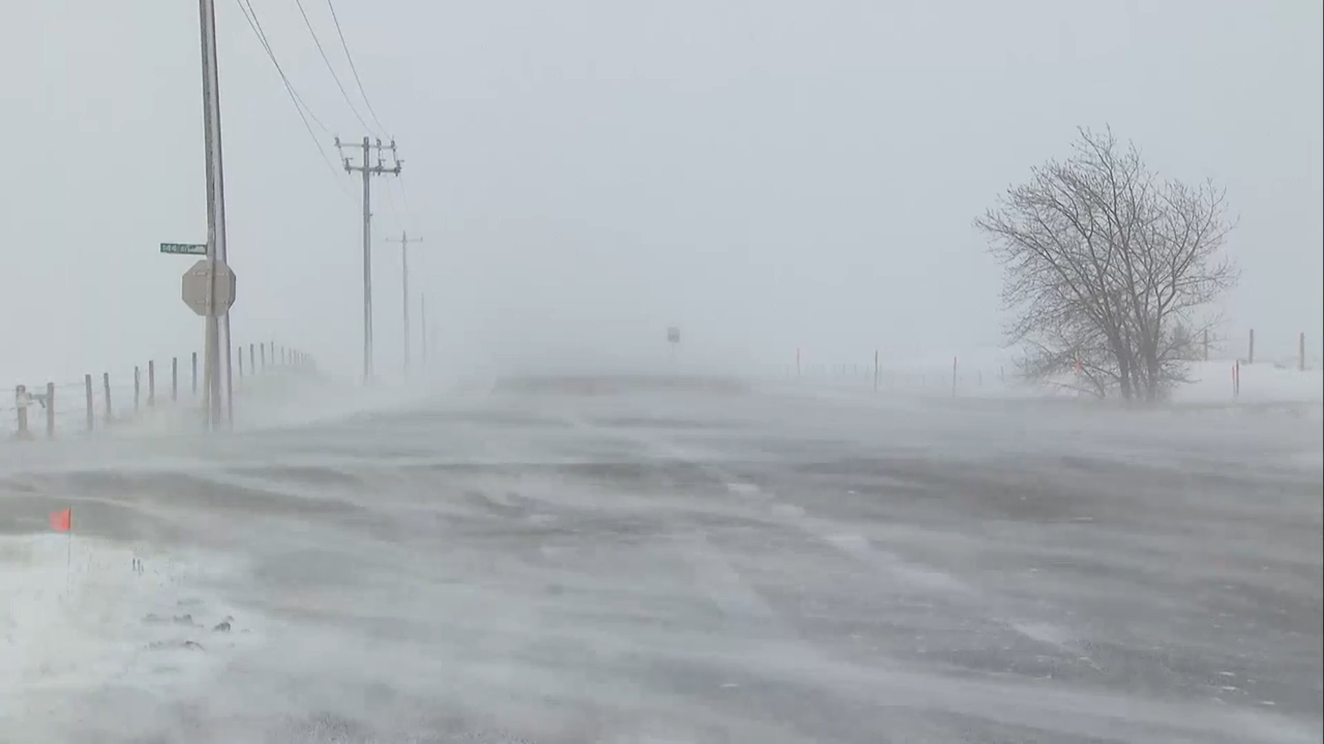
Environment Canada issued a special weather statement describing wet, windy and wild weather for the Ottawa along with most of southern and central Ontario beginning as early as Monday night.
There is the potential for significant rainfall – possibly into Halloween, which is on Wednesday.
There are also suggestions that with Sandy’s arrival that there could be enough cold air for some wet snow to fall in some areas over south-central Ontario to areas northeast of Georgian Bay.


